
Emergency Overview
A sudden flash flood struck Dighinala Upazila during the night of 21–22 August 2026 following exceptionally intense rainfall. The Dighinala weather observation station recorded approximately 103 millimetres of rainfall within only three hours. The resulting rapid rise of the Maini River and surrounding mountain streams inundated low-lying settlements before many families could protect food, belongings and essential household items.
Initial reports confirm flooding in Merung, Kabakhali and Boalkhali unions. Homes, sections of the Dighinala–Merung road and Aman paddy fields have been submerged. Landslides at the 5 Mile and 9 Mile areas also disrupted access along the Khagrachari–Dighinala–Sajek road.
Data caution: The local administration is preparing the affected-household list. No verified total for affected houses, population, crop acreage or financial loss was available at the reporting cut-off. TUS will use verified assessment data before final beneficiary selection or distribution.
Confirmed Affected Areas and Immediate Concerns
| Area | Reported impact |
|---|---|
| Merung Union | Low-lying villages, homes, agricultural land and sections of the Dighinala–Merung road inundated. |
| Kabakhali Union | Low-lying settlements and agricultural land affected by rising river and hill runoff. |
| Boalkhali Union | Homes and Aman fields affected; rapid rise of Boalkhali Chhara flooded JamTali. |
| Chowmuhani–Jagannathpara | Water entered homes, including houses reportedly unaffected during the previous flood. |
| 5 Mile and 9 Mile | Landslides disrupted movement along the Khagrachari–Dighinala–Sajek road. |
Immediate humanitarian concerns
- Loss of stored food and essential household belongings
- Unsafe drinking water and contaminated sanitation facilities
- Temporary displacement and exposure to further rainfall
- Waterborne disease and hygiene risks
Protection and livelihood concerns
- Risks to children, older people, pregnant women and persons with disabilities
- Aman crop damage and possible livelihood loss
- Restricted market, health and relief access
- Further flooding or landslides if rainfall continues
Proposed Emergency Response
1. Rapid assessment and verification
Deploy trained TUS staff and volunteers to record household impact, vulnerability, GPS location, priority needs and evidence, and coordinate results with the Upazila Administration and Union Parishads.
2. Emergency food assistance
Provide needs-based emergency food or ready-to-eat packages to highly vulnerable households, subject to market availability and verified gaps.
3. WASH and essential household support
Provide safe water, purification tablets, hygiene materials, menstrual-hygiene items and context-appropriate shelter and essential household materials.
4. Protection and referral
Prioritise severely affected and at-risk households and refer urgent health, protection, disability or specialised needs to appropriate services.
Selection principle: The proposed target of up to 500 households is an operational planning ceiling only. Final coverage will be determined through severity-based household verification, local coordination and duplication checks.
TUS Capacity and Accountability
Why TUS
TUS is a Khagrachari-based local organisation with community networks, knowledge of the local geography and languages, and operational experience across the Chittagong Hill Tracts. Its staff and volunteers can support rapid access, verification, coordination and monitoring.
Minimum commitments
- Transparent vulnerability-based selection
- Coordination and duplication prevention
- Safe, dignified and inclusive distributions
- Community feedback and complaints mechanism
- Distribution evidence, financial records and donor reporting
Request to humanitarian partners
TUS requests flexible emergency funding, relief materials or logistical assistance. Early support is critical to prevent deterioration in food security, safe-water access, health and household protection.
Photographic Evidence
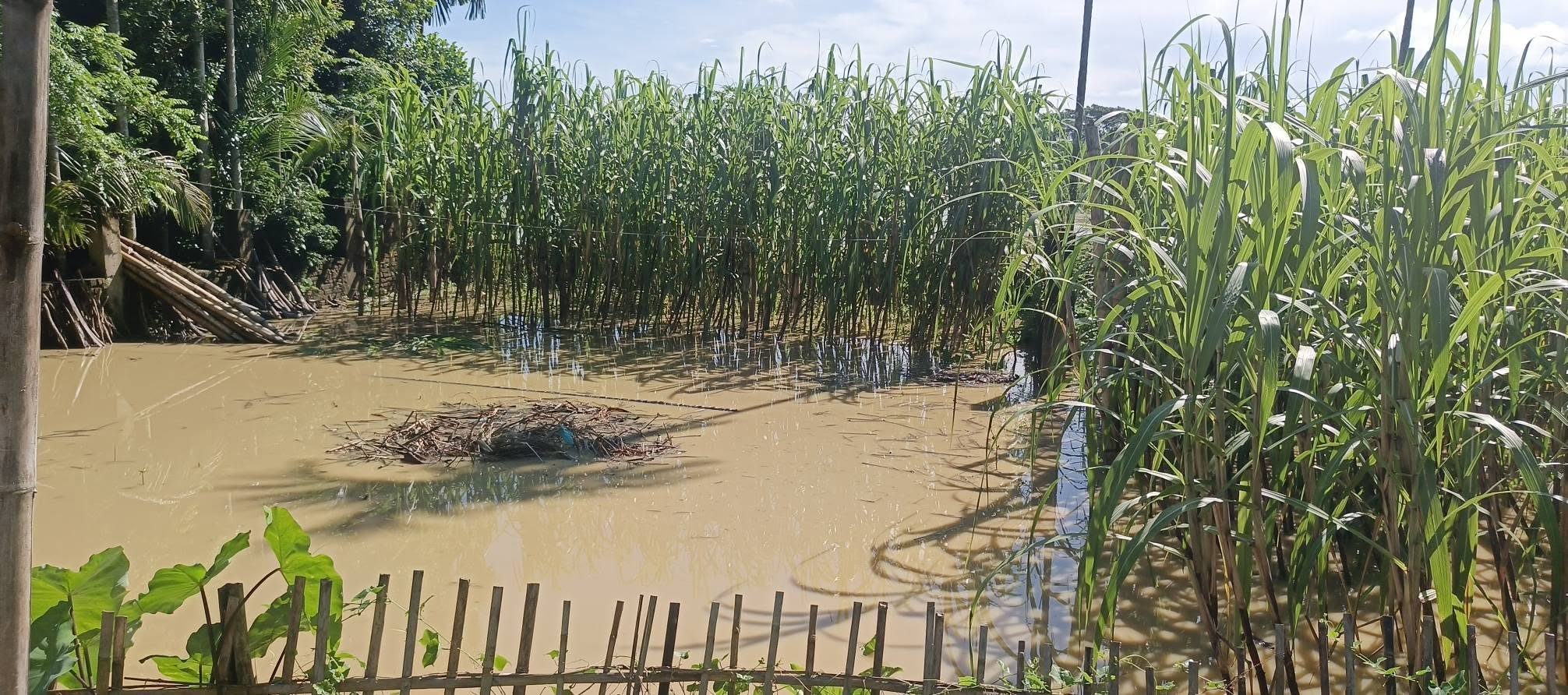
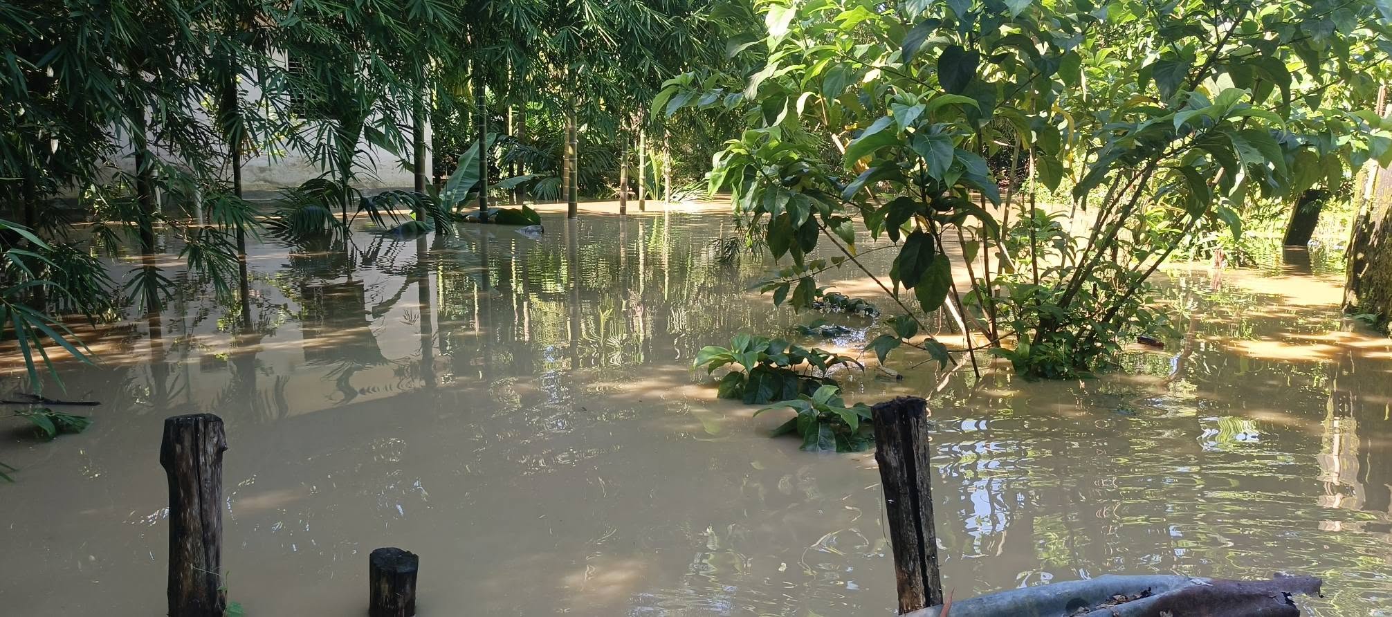
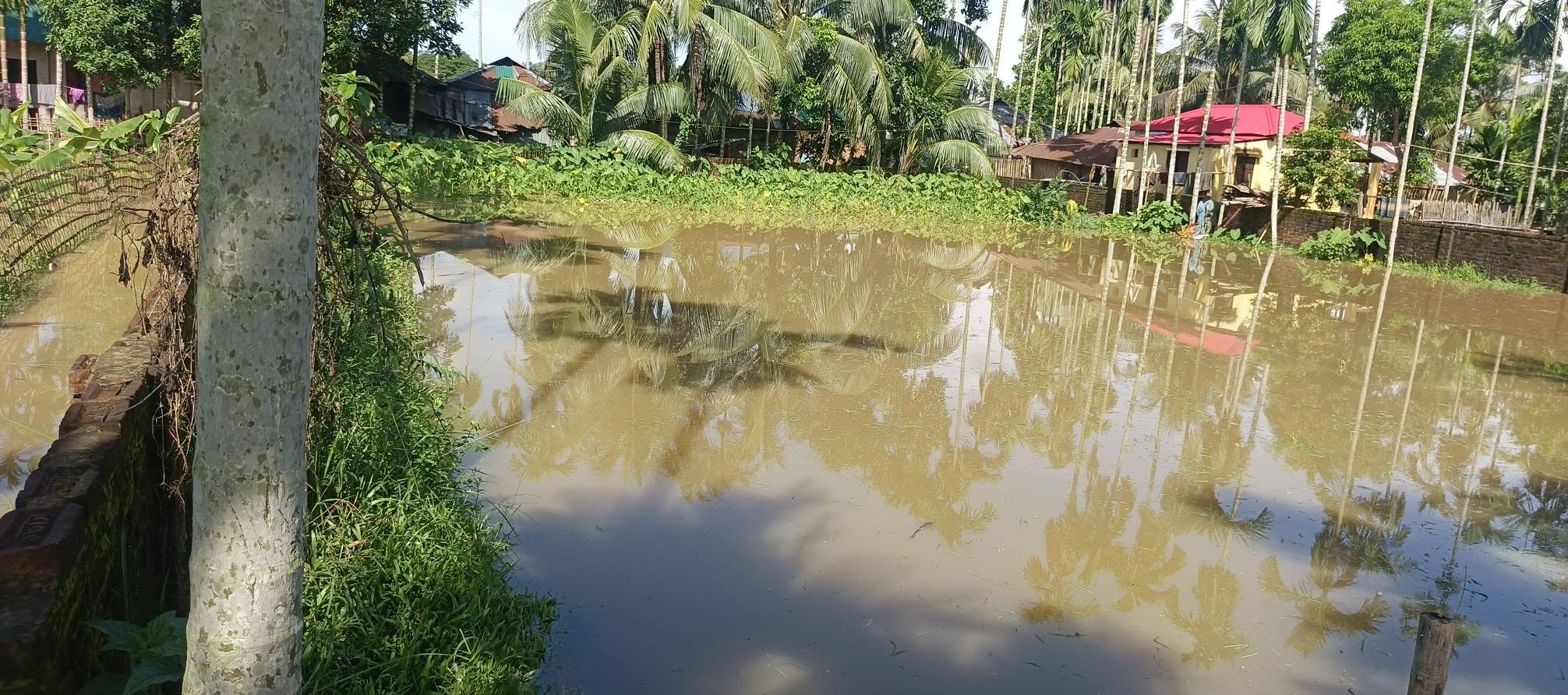
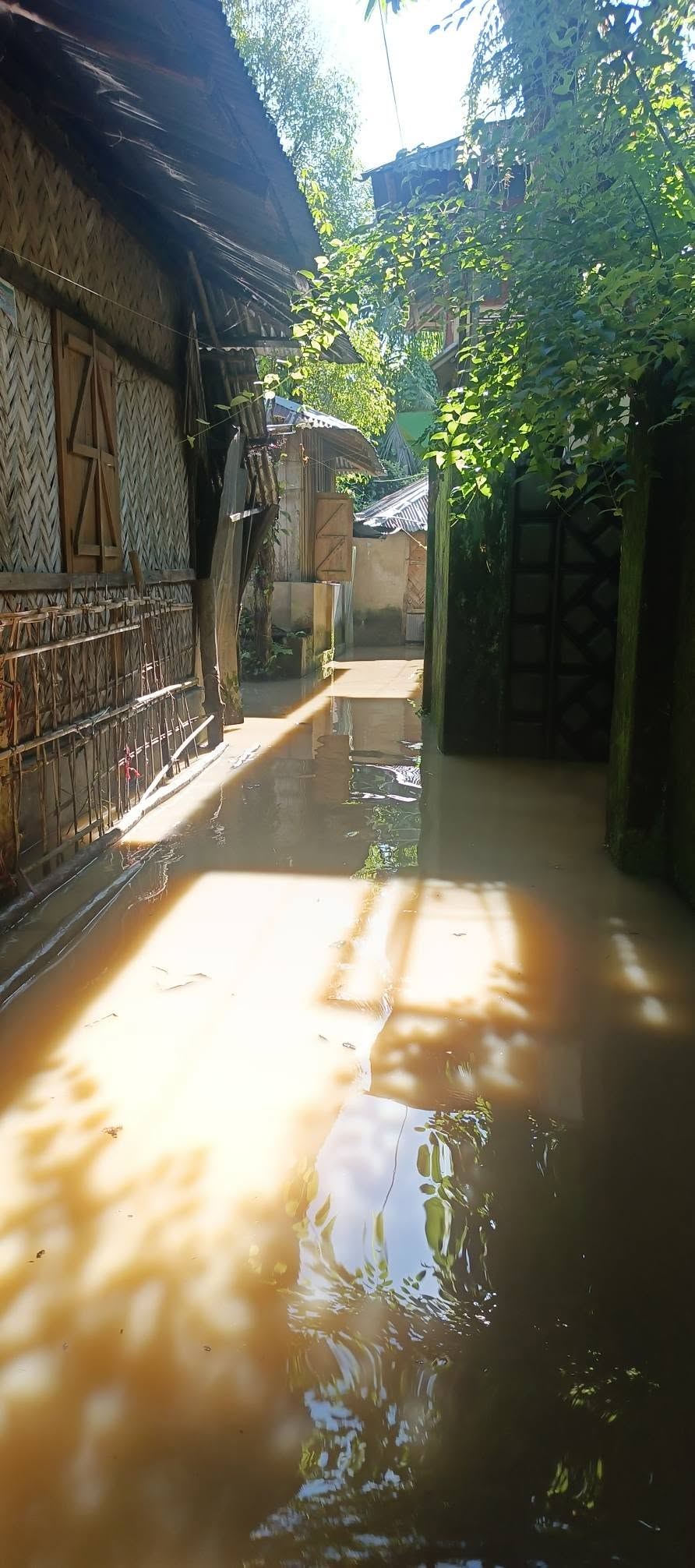
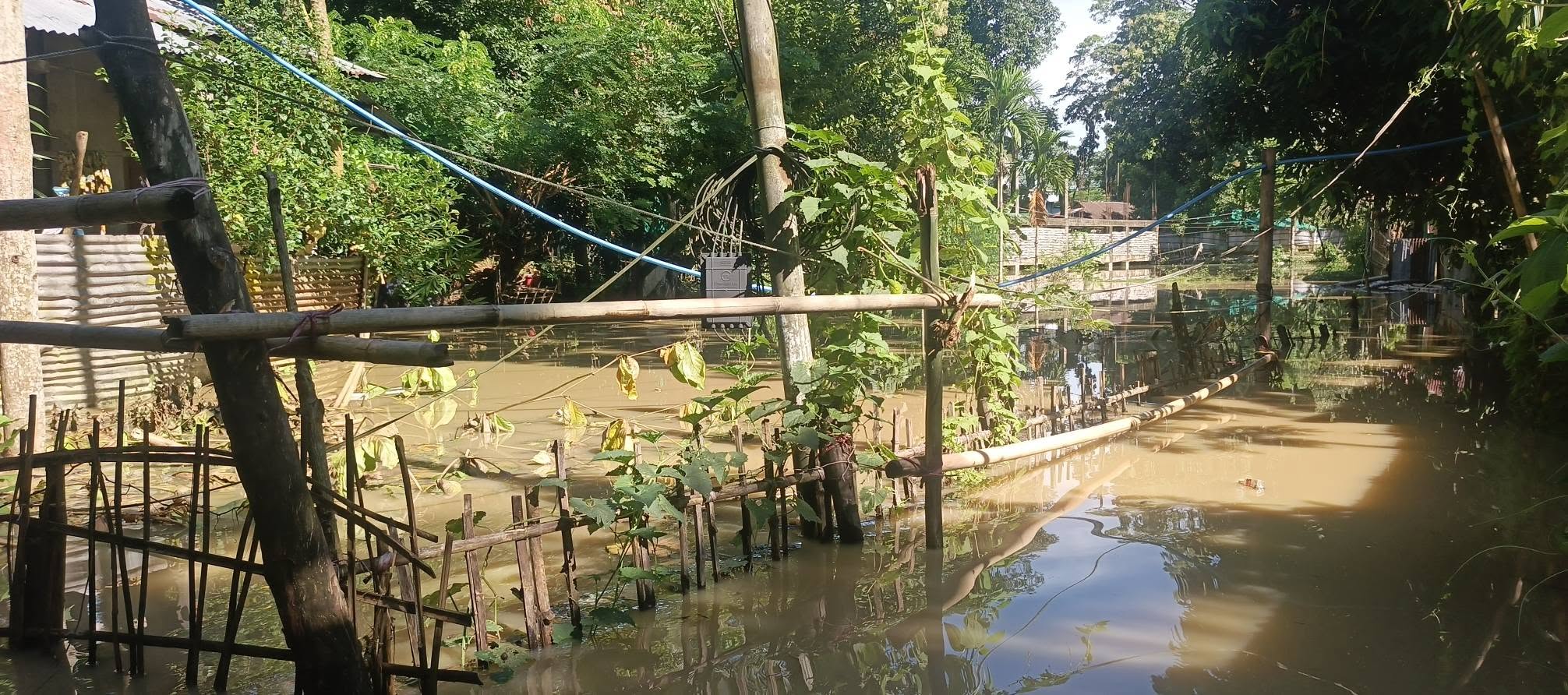
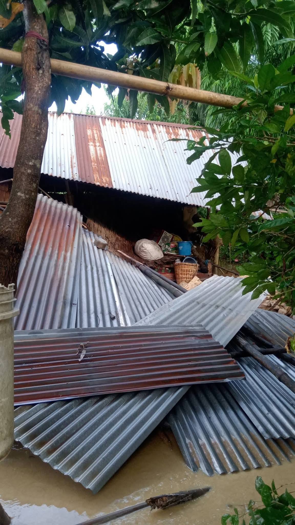
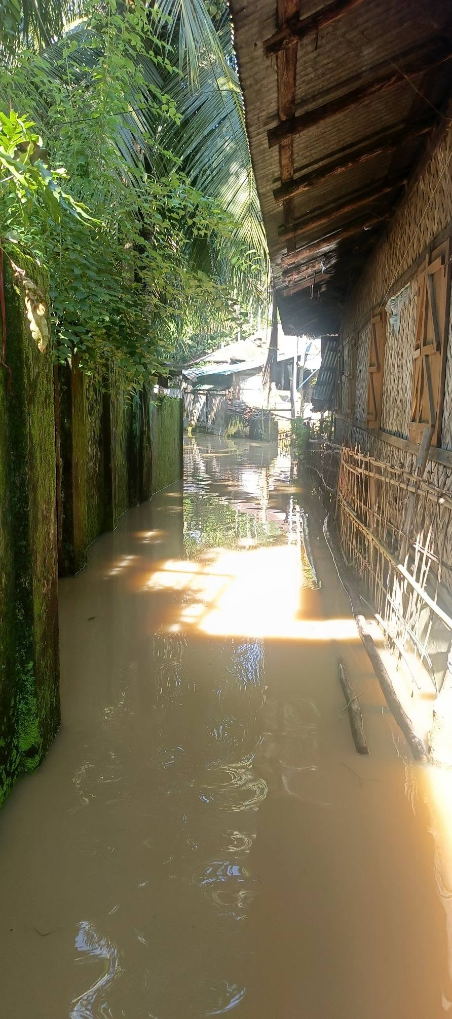
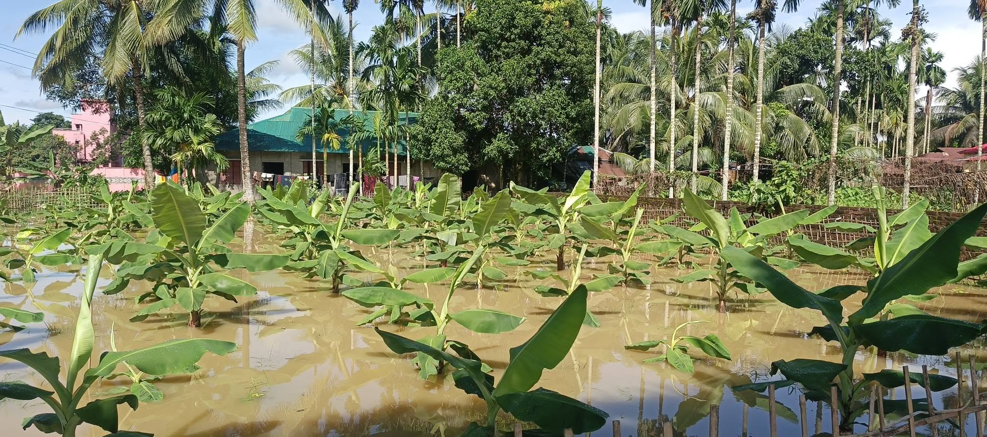
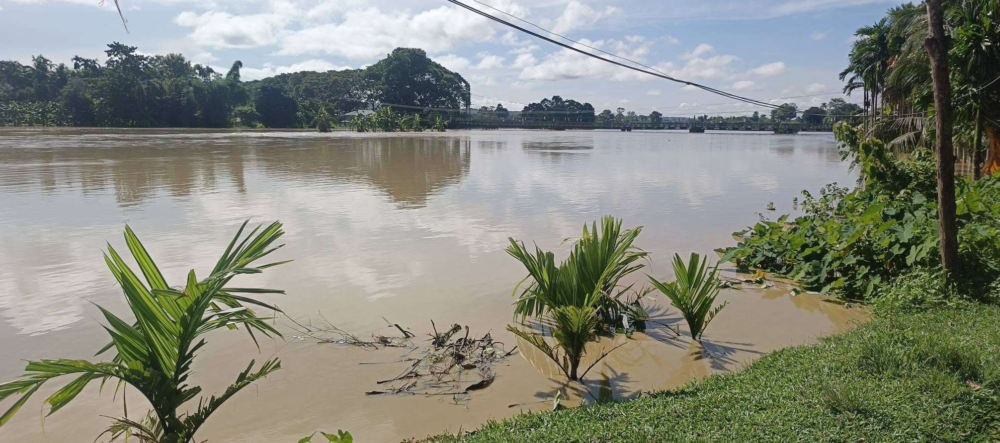
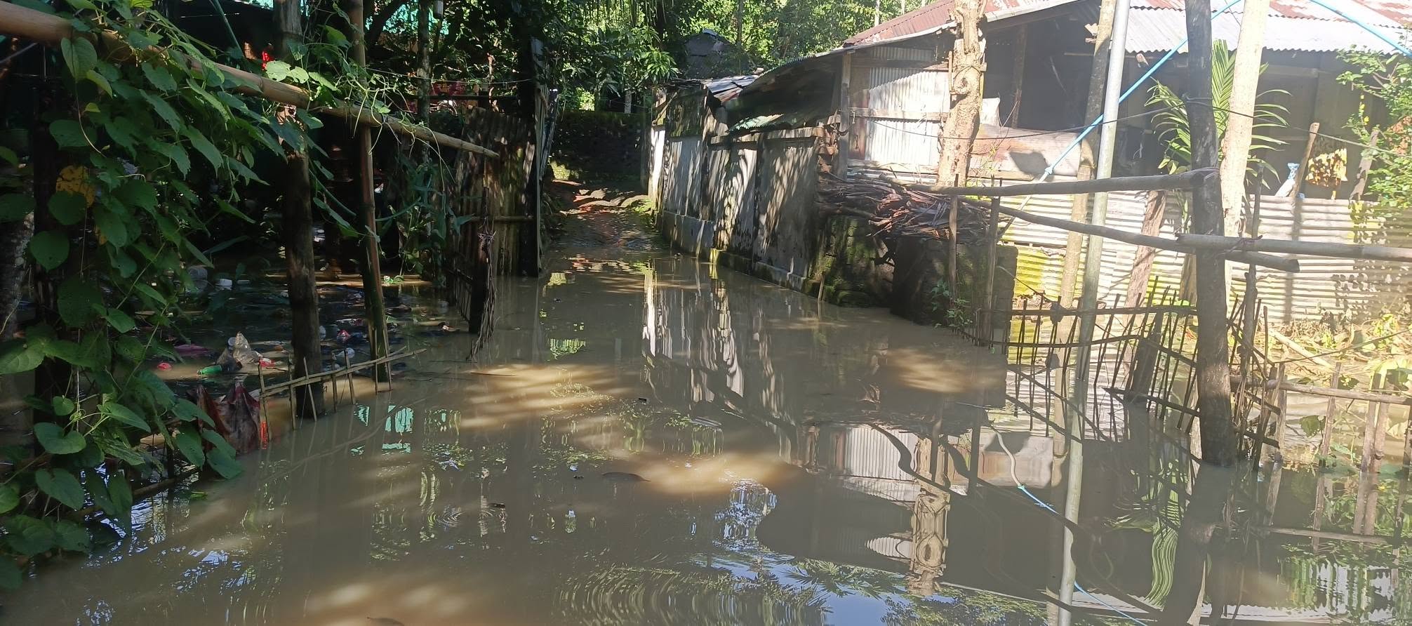
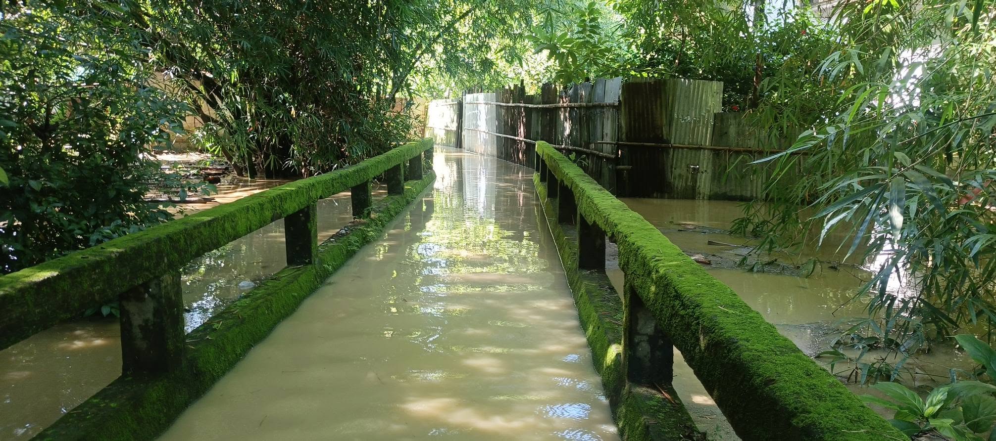
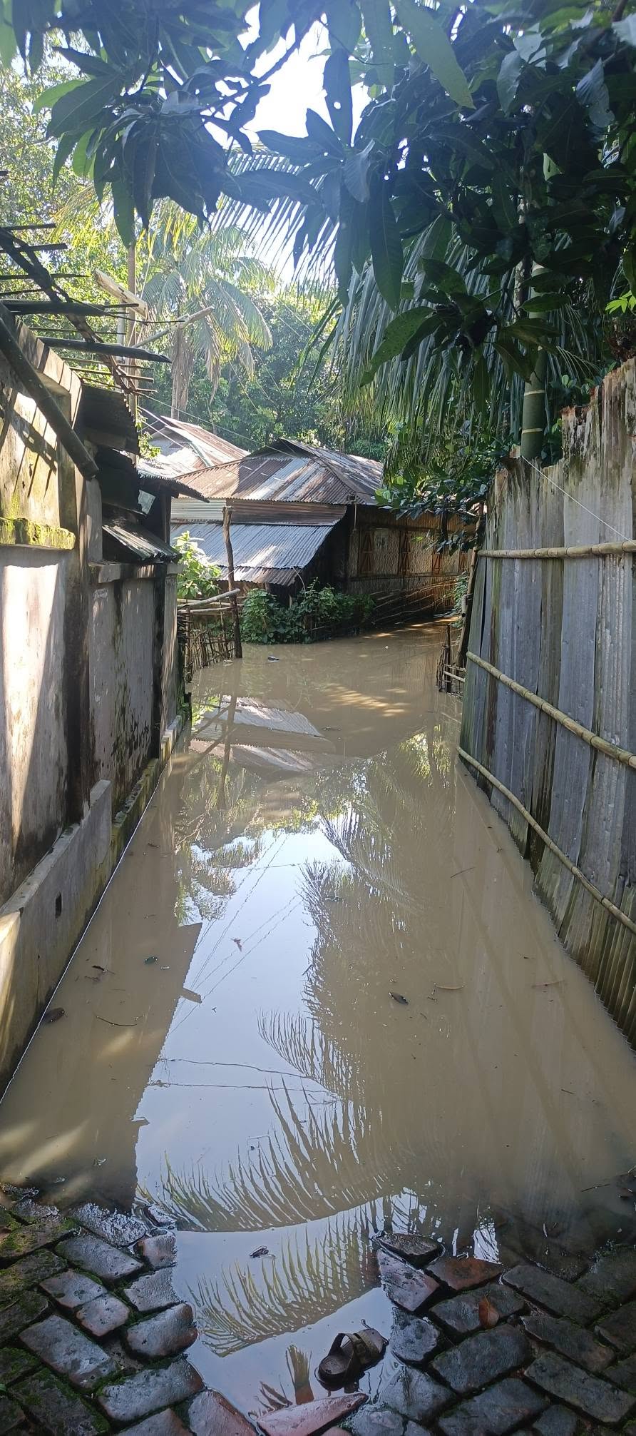
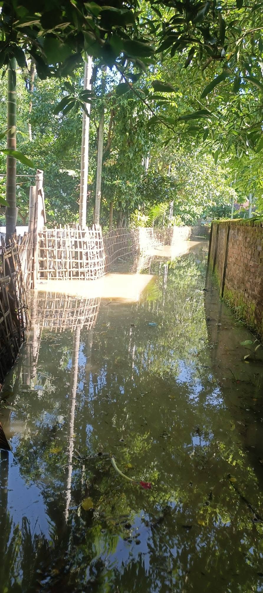
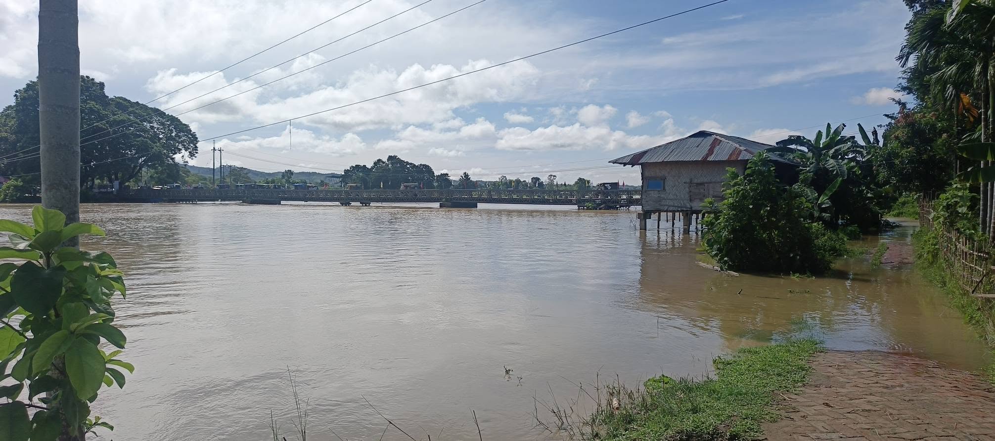
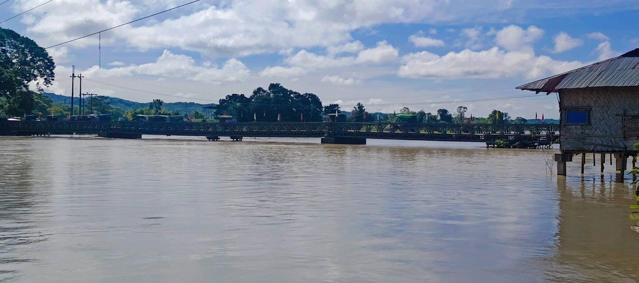
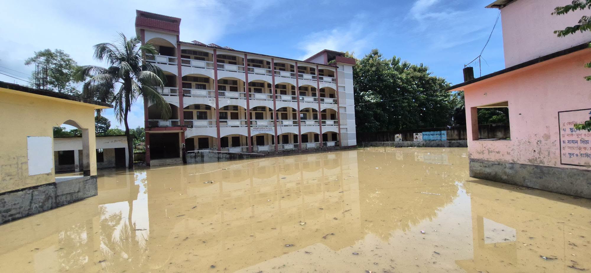
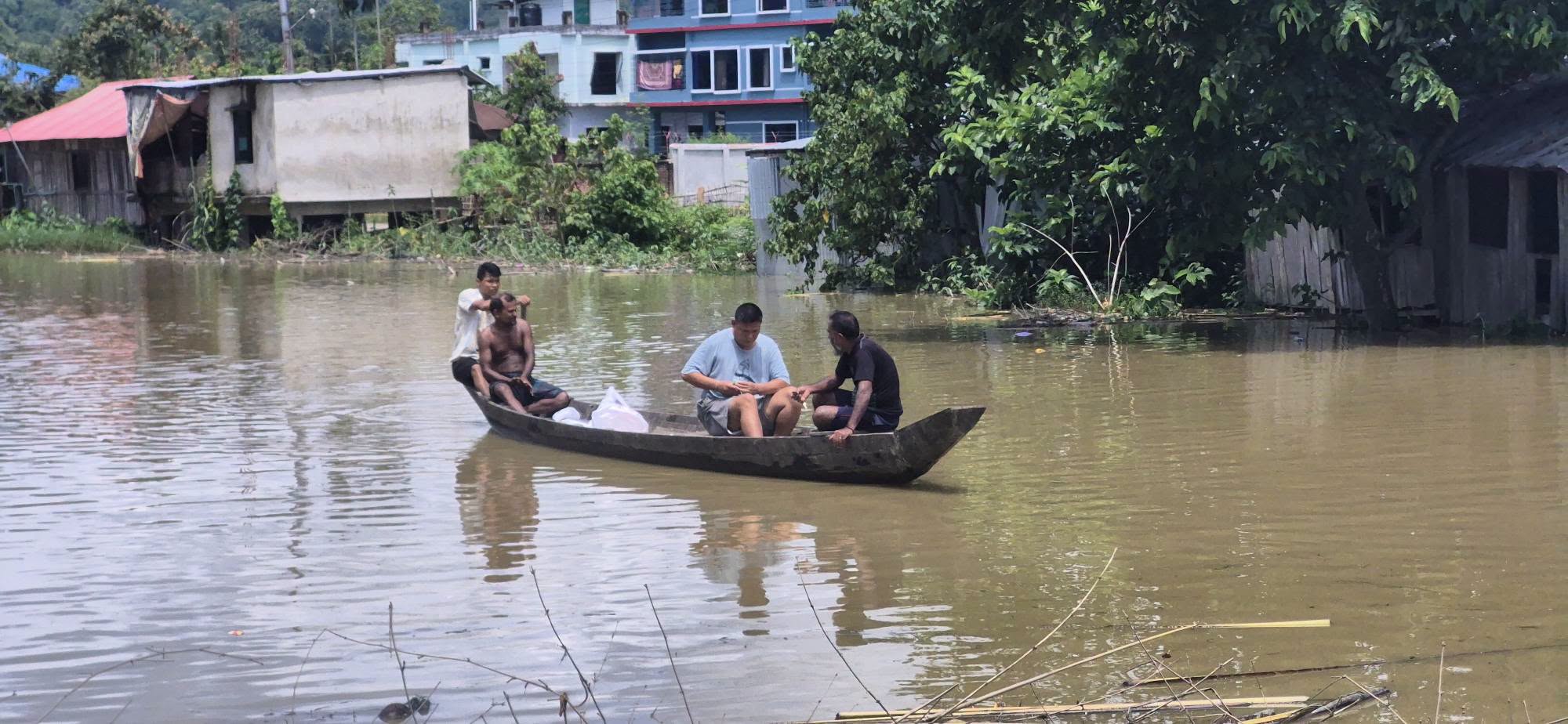
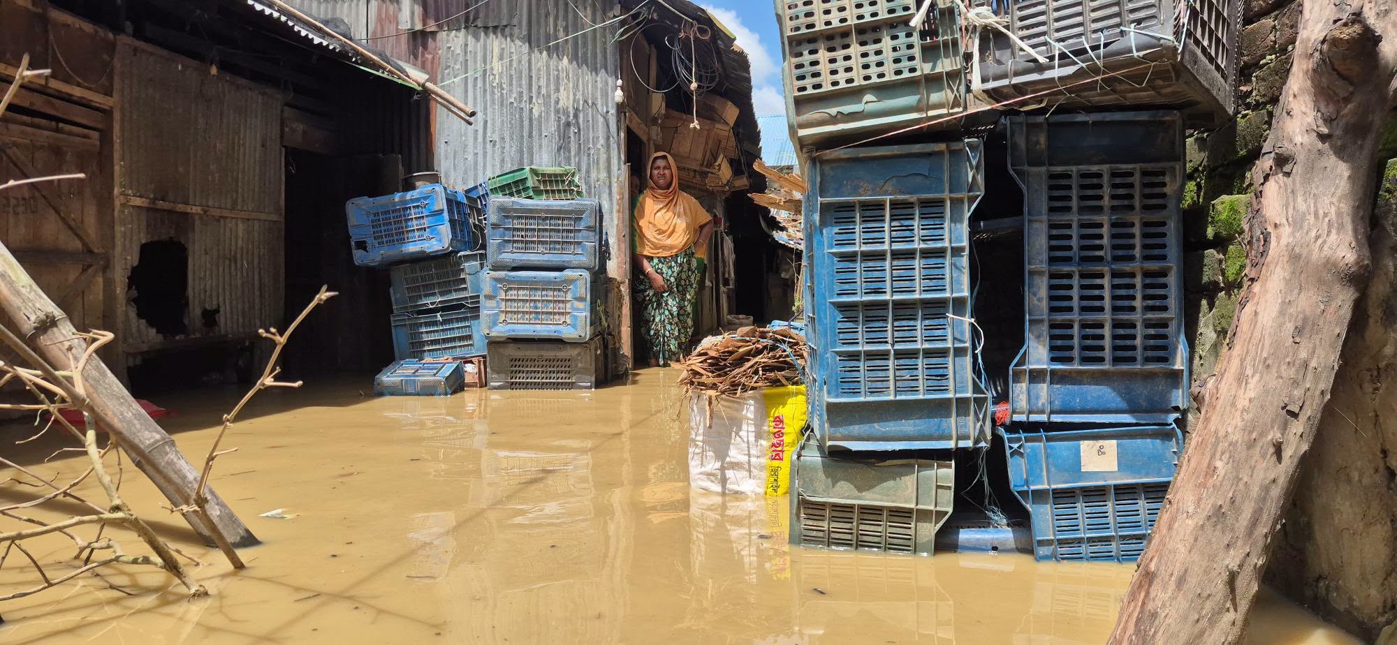
Field-photo reference: The following 18 photographs were supplied for inclusion in this TUS emergency appeal. Photos 1–15 document flood impacts reported from Dighinala, while Photos 16–18 were identified by the contributor as Khagrachari Sadar locations near the Chengi River. Together they visually document inundated agricultural land, household compounds, community access routes, public facilities, emergency boat movement, high river water and one visibly damaged residential structure. Exact GPS locations, capture times, photographer names and household identities were not embedded in the supplied files and should be confirmed through TUS field records before they are cited as household-level verification.
Video and Social-Media Evidence
Field video: Flash-flood conditionsVideo reference shared for the 22 August 2026 flood situation, showing conditions associated with the emergency update.Watch video on Facebook →
Related Facebook field updateSocial-media post supplied as supporting reference for flooding in Khagrachari Sadar near the Chengi River.Open supporting post →
Click any photograph to open the full-resolution evidence file. Photographs should be used with appropriate consent and protection safeguards; they demonstrate visible conditions but do not independently establish total household or monetary losses.
Evidence Sources and Reporting Note
- Jugantor — 103 mm rainfall, affected areas, road and landslide impacts
- Jago News — flooded unions, homes, roads and Aman fields
- Daily Observer — affected list under preparation by authorities
- Naya Diganta — Maini River and wider low-lying flooding update
- Protidiner Bangladesh — কয়েক ঘণ্টার প্রবল বৃষ্টিতে খাগড়াছড়ির নিম্নাঞ্চল প্লাবিত
- Daily Vorer Akash — কয়েক ঘণ্টার প্রবল বর্ষণে খাগড়াছড়ির নিম্নাঞ্চল প্লাবিত
- Gramer Songbad — Khagrachari flood situation news coverage
Reporting status: This is a rapid emergency appeal based on public reporting available on 22 August 2026. It is not a final damage-and-needs assessment. Figures and priorities must be refreshed using government information and TUS field verification before implementation.